Pick you up at the airport and transfer to central hotel for check in
Accommodation: Lao Orchid hotel or similar ( 3* hotel, locates in the center town close to Mekong River and night market)
Day 2 : Vientiane –City Tour
Breakfast and Today enjoy a guided tour to discover the hidden charms of Vientiane, whose name means "the city of sandal wood". Vientiane is one of the quietest capital cities in the world, far away from the bustle and hustle of other Asian capitals. Your guide will pick you up at 09:00 this morning. Your tour begins at the serene Wat Sisaket, the only temple left intact after the Siamese (Thai) invasion in 1828. It is one of the most beautiful temples in the capital, and its breezy teak covered hallways are filled with thousands of miniature Buddha statues.
Continue on to the nearby Wat Phra Keo. Used as a religious museum, Wat Phra Keo displays a collection of both Lao and Khmer works of art. Also nearby, is the Presidential Palace. Although you are not allowed to visit inside, it is a good glimpse in to the town's colonial past as this building formerly served as the French governor's palace. Stop at Wat Simuang, the most popular and venerated temple in Vientiane, as it is considered the guardian of the spirit of the city. Upon its grounds, you will find an Angkorian-era pillar and it is a popular belief that if you circle it three times and make a wish, then that wish will come true.
Nestled near the morning market is That Dam. Also called the "Black Stupa", the structure was once covered with a layer of gold which was stolen by the Thais during their invasion in 1828. From here, travel on to nearby Pangkham Street, with its plethora of tailor shops, and Nam Phou Fountain. Around the fountain are some remaining buildings from former Vientiane.
Meal: B, L
Accommodation: Lao Orchid hotel or similar ( 3* hotel, locates in the center town close to Mekong River and night market)
Day 3 : Vientiane – Nampien Yorapa national park
Pick you up from your hotel in Vientiane at 8:00 AM we drive out of the town for 30 minutes visit Buddha Park, also known as Xieng Khuan (as well as other variations of the spelling), is a sculpture park located 26 km southeast from Vientiane, Laos in a meadow by the Mekong River. Although it is not a temple (Wat), the park may be referred to as Wat Xieng Khuan, since it contains numerous religious images. The park contains over 200 Hindu and Buddhist statues.
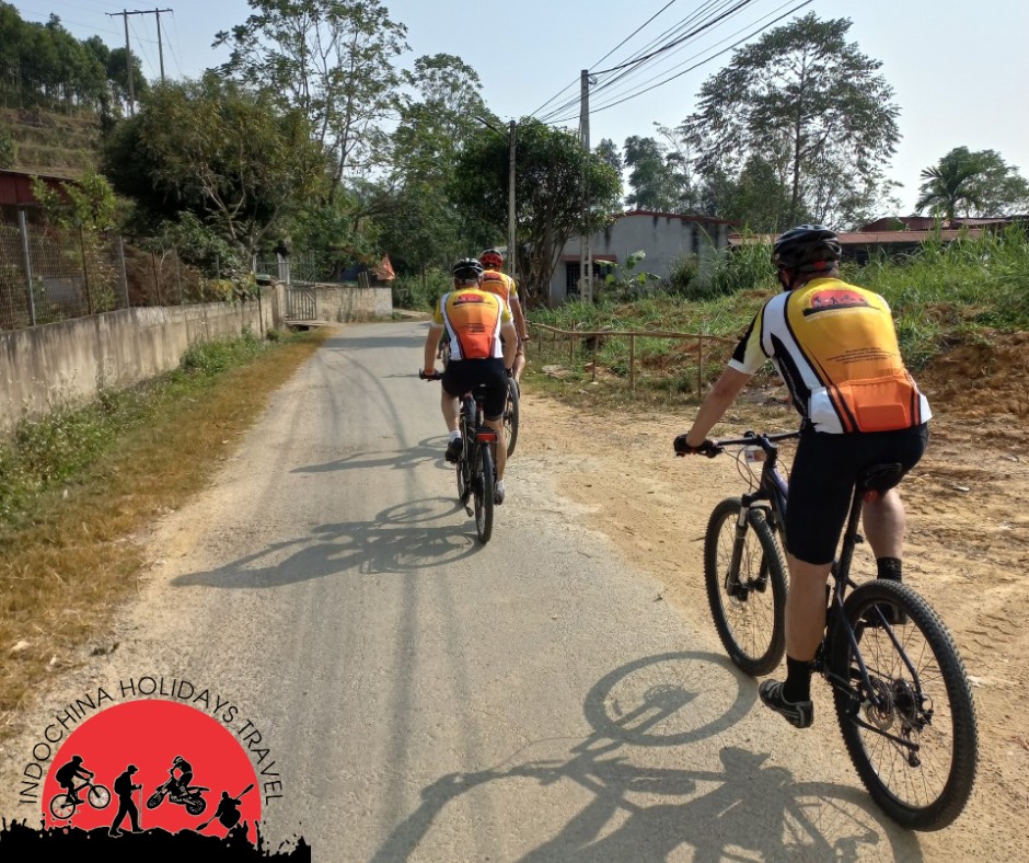
After visit Buddha Park we start riding along Mekong River on asphalt road look at Thailand, after 27 km, we meet the main road 13th south, we keep riding 1,5 km on main road then turn left from main road and we keep riding on asphalt road through country side villages and rice fields, water and fruits stop after riding 20 – 25 km, we stop for lunch at local restaurant before riding the rest to our destination of Nampien yorapa national park where we stay overnight.
After check in your hotel is free to spend your time around the park or do activities as your preference.
Elevation: Vientiane = 190 m above sea level, Nampien yorapa national park = 190 m above sea level
Distance: 80 km. transfer = 26 km, riding = 54 km.
Road condition: asphalt and flat road
Meal: L, D
Accommodation: Nampien Yorapa national park resort (3* resort, locates at the national park)
Day 4 : Nampien Yorapa – Viengkham village
After breakfast at hotel, at 8:00 AM we start riding from hotel for 18 to the road No. 13th south, the road is undulating, we stop for lunch at local restaurant along the way, after lunch we keep riding approximately 60 – 70 km in total or as long as you feel like it before we transfer the rest to our destination of Viengkham village
Elevation: Nampien yorapa =190 m above sea level. Viengkham = 160 m above sea level
Road condition: asphalt and flat road ( short slightly up and some potholes )
Distance: 188 km. riding = 60 km, transfer 128 km
Meal: B, L, D
Accommodation: Phetsamon hotel (basic hotel with A/C and private bath room with hot/cold shower locates at a small village of non-touristic village)
Day 5 : Viengkham – Konglor
After breakfast prepare by your guide at local restaurant, at 8:00 AM transfer for 32 km to the top of view point of Phouphaman stone forest mountains, we stop for photo of scenic view of stone forest mountains. After enjoying view and have coffee, start riding downhill after 13 km we turn right at Ban Nahin village, after water stop we keep riding the rest 40 km through villages and rice fields surrounded by lime stone mountains to our destination of Konglor village where we stay overnight. We overnight in local bungalows surrounded by mountains and rice fields.
Elevation: Viengkham = 160 m above sea level, top of view point = 485 m above sea level, Konglor village = 170 m above sea level.
Road condition: asphalt road, transfer uphill riding on flat road
Distance: 84 km. transfer = 32 km, riding = 52 km
Meal: B, L, D
Accommodation: local bungalows
Day 6 : Konlor village through Konlor cave – Nakai
After breakfast, at 8:00 AM we ride from your guesthouse for 1 km to the cave, after organize our bikes into the long tail boats, we start boat ride through the cave for, we will get out the boat some times for boat man to push the boat through rapids ( konglor cave is one of the most spectacular sites in Laos, the Konglor cave is 7,5 km long and can reach 100 m high, you can ride a boat right through this wide cave and observe the caverns formation from your boat or from one of the sandy subterranean beaches )
After 1 hour of boat trip, we reach the other side of mountain at Natan village; we can walk or ride around village before we ride on unpaved road to Nakai plateau where we stay overnight. riding today without support vehicles, our vehicles will drive on road to the main road at Nakai plateau where we overnight. We have to carry water and lunch pack.
Elevation: Konglor = 170 m above sea level, Nakai plateau = 544 m above sea level
Road condition: 57 km unpaved, 8 km paved road
Distance: 65 km
Meal: B, L, D
Accommodation: sunset resort (good quality with A/C and private bath room by the lake)
Day 7 : Nakai plateau – Thakhek and transfer to Tadlor waterfall
Today is easy and beautiful day. After breakfast at your resort, at 8:00 AM we start cycle from our resort, as Nakai district locates on Nakai plateau, when we ride out of town the road is downhill to the hydro power dam, you can stop for photo along the way at the view point, the road today is surrounded my limestone mountains and almost flat all the way to Thakhek. We stop for lunch at Tha Falang blue lagoon, after relax at the lagoon. We load our bikes to the truck and transfer at 1: PM to Tadlor where we stay overnight, driving approximately 6 hours
Elevation: Nakai plateau = 544 m above sea level, Thakhek = 150 m above sea level.
Road condition: asphalt road with some potholes and more traffic after 20 km
Distance: Nakai – Thakhek = 74 km. transfer from Thakhek to Tadlor = 374 km
Meal: B, L, D
Accommodation: Tadlor resort or similar (good quality bungalows by the River and waterfall)
Day 8 : Tadlor waterfall – Paksong
After breakfast at hotel by the waterfall, at 8:00 AM we transfer for 30 km on ascend road to Tatheng, as Tad Lor Resort is at an altitude of 750 m above sea level) and on top at a small town of Tha Teng is at an altitude of 860 m above sea level, we start riding at Thateng on asphalt road, from Thateng the road is slightly ascend and flat for 38 km to Paksong plateau on attitude of 1200 m above sea level, we stop for lunch at local restaurant in a small town of Paksong plateau. After lunch we ride on descend road for 17 km to our resort at Sabaidee valley where we stay overnight. After check in hotel, relax at your resort enjoying panoramic view of national park or take a short walk through the coffee plantations.
The town of Paksong was heavily bombed and now presents a bedraggled and somewhat temporary appearance. The Bolavens plateau dominates the centre of the region, rising sharply out of the plain north of Pakse. The climate is cool and rainy, yielding rich crops of coffee and tea. The plateau is graced with extravagant waterfalls, some concealed by dense jungles; the best known is at Xeset, the hydro-electric development.
Elevation: Tadlor = 750 m above sea level. Paksong = 1200 m above sea level. resort = 860 m above sea level
Road condition: asphalt road and slightly up to plateau
Distance: 85 km, transfer = 30 km, riding = 55 km
Meal: B, L, D
Accommodation: sabaidee valley resort www.sabaideevalley.com
Day 9 : Tadfan – Champasak
After breakfast at your resort, at 8:00 AM we start riding from resort on asphalt road, today is easy ride, from main road it begins descend, you can stop on the way for photo, after 33 km riding downhill to Pakse and cross Mekong River by bridge, we stop at the temple on top of mountain with panoramic view of Pakse town before riding the rest 40 km to our destination of Champasak where we stay overnight.
Elevation: sabaidee valley resort = 860 m above sea level, Champasak = 150 m above sea level
Road condition: paved road downhill and mainly flat
Distance: 73 km
Meal: B, L, D
Accommodation: Nakorn river view GH
Day 10 : Champasak – Muangmoun and four thousand Islands
After breakfast at your hotel, at 8:00 AM we cycle from hotel head south along the main land through villages and rice paddy fields, the road is mainly flat asphalt road but some sections are on dirt road, we have lunch at local restaurant, we overnight at the guesthouse
Elevation: Departure point: 120 m above sea level. Arrival point: 124 m above sea level.
Road condition: mainly flat, paved road = 60 km, dirt road 14 km (there are two routes to our destination)
Distance: 75 km
Meal: B, L, D
Accommodation: guesthouse (basic guesthouse at non-touristic small town)
The guesthouse on the Island, there are 6 rooms, for group of more than 10 people stay at the guesthouse on main land
Day 11: Muangmoun – Dondet Islands
After breakfast at local guesthouse preparing by your guide at 8:00 AM we cycle from guesthouse along the country side, we stop on the way to visit villages and talk to local people, after 22 km cycle on main land, we cross Mekong River by local ferry to Khong Island, the biggest Island of four thousand Island, after 23 km riding on paved road through the Island we cross Mekong River by local ferry to Don Som Island, we cycle for 15 km on dirt road and path through the Island passing villages and rice fields exploring local life style on the Island, we finally reach the south edge of Don Som Island, we cross by local ferry to Don Det Island where we overnight. after check in hotel on the Island is free to relax or enjoy Beer Lao at the bank of Mekong look at the other Islands or explore the Island by riding along the old French rail way and cross the rail way bridge to Don Khon Island visit Liphy waterfall on Mekong River.
The Mekong sweeps down towards the Cambodian border. On the eastern border the land rises towards the Anna mite chain through dense jungle, sparsely populated by remote tribes. The Ho Chi Minh trail makes its way down through the forest, littered with the skeletons of trucks and still contaminated with unexploded bombs.
Downstream Khong island (four thousand islands), once a French outpost, contains dilapidated colonial houses from the 1920, Khong Island became an important trading point at the beginning of this century and has the distinction of having the only railway line in the country. South of Khong Island the Mekong River almost loses itself among the channels that created thousands of tiny islands in its widest section, before becoming increasingly agitated. Finally at Khone Island, it hurtles over 15 km of falls and rapids to spectacular effect. Along this stretch at Phapeng water fall one arm of the river, suddenly crashes down a 15-metre drop
Elevation: Muangmoun = 124 m above sea level, Dondet = 85 m above sea level
Road condition: mainly flat, paved road = 35 km, dirt road 25 km
Distance: 60 km
Meal: B, L, D
Accommodation: Golden hotel or similar (3* hotel with A/C, private bath rooms and swimming pool)
Day 12 : Don Det Island – Pakse
After breakfast at your hotel, at 8:00 AM we take long tail boat to main land at Nakasnag village, optional transfer to Pakse, or we cycle to the main road where the road turn right to Cambodia but we turn left to our destination, riding on flat and undulating asphalt road, we stop for water and snacks every 20 km, optional cycle 70 – 80 km and transfer the rest to our destination in Pakse
Elevation: Dondet = 85 m above sea level, Pakse = 150 m above sea level
Road condition: main road and mainly flat, paved road.
Distance: 110 km
Meal: B, L
Accommodation: Sengaloun hotel or similar
Day 13: Pake - departure
Free at leisure until your departure time and transfer to the airport in town for your domestic flight to Vientiane capital or to LuangPrabang in northern Laos or international flight to Bangkok Thailand, Seam Reap Cambodia or Vietnam
Meal: B
End of services
Please consider the environment before printing
Departure date : Upon inquiry
Tour price : Contact us
Tour Inclusive :
* Support transport by A/C minivan or bus, truck for group
* Trek MTB & helmets, spare parts, aid kits, tool kits ( E-bikes avaiable upon inquiry )
* Boat trip in tour
* Entrance fees, Permission for a border tour
* B=Breakfast, L=Lunch, D=Dinner as mentioned in the tour itinerary
* For daily cycling only: Water, snacks, fresh fruits, wet towels
*Accommodation in tour - 12 nights
* Experienced English-speaking bike guides
Tour Exclusive :
* Travel insurance
* Other personal expenses
* Tips for guides and drivers
* Drinks at restaurants